

Text 13 area control service
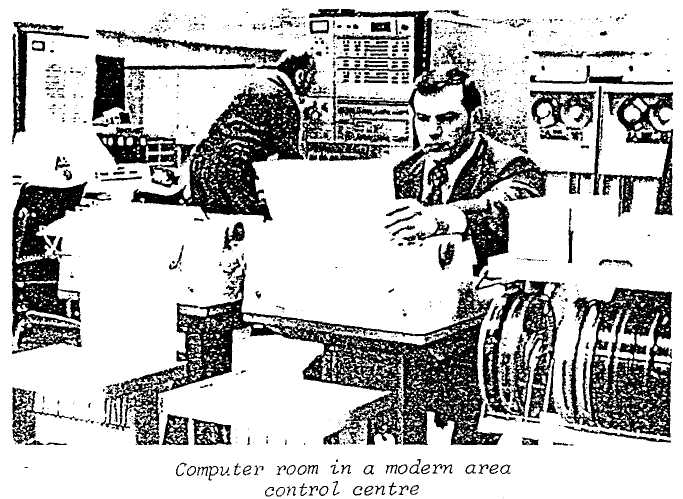
The function of area control is to provide air traffic control service for controlled flights except for those parts of flight where the ATC service is provided by approach control or by aerodrome control. Its area of control usually includes many thousands of square miles of airspace. With radar, controllers can position aircraft and achieve the desired safe and expeditious flow of traffic. (However, area control can be provided without radar). Some centres have computers which automate many of the routine functions of the controller.
In order to maintain a controller's workload at a level within his capability the centre's airspace is divided into sectors.
It is essential that the controller know the position and future plan of ever; aircraft within his sector. To accomplish this, flight progress boards are used on which are placed flight progress strips which contain all the pertinent current flight data such as the following:
Aircraft identification
Type of aircraft
Point of departure
Destination
Flight planned route
Filed true airspeed
The controller's and pilot's estimated time over the current reporting point
Actual time over reporting point or fix Flight level in hundreds of feet
Clearance information
Where a centre docs not have the requisite computer, flight progress strips are manually prepared and handled.
Approach control facilities use radar and flight progress strips in the same manner as area control centres.
handle [7hXndl]обрабатывать
pertinent [7pE:tinEnt]относящийся к этому
Text 14 the control tower (Part 2)
The control of air traffic on, or in the vicinity of an aerodrome, is provided by the control tower. In most cases the tower is located on top of the terminal building and, is restricted to authorized personnel only. The aerodrome controller, who is located in the "tower cab", provides separation between aircraft arriving and departing, and also controls aircraft and vehicles manoeuvring on the manoeuvring area.
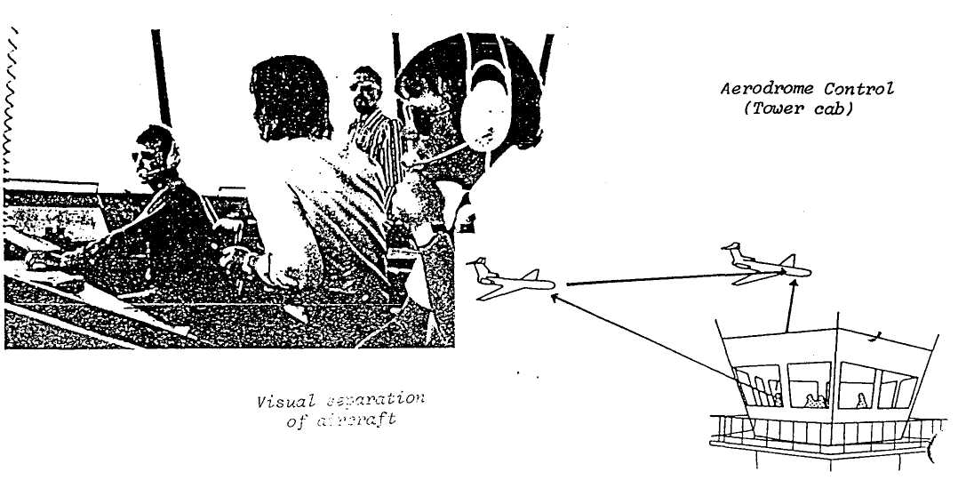
Approaching aircraft, particularly those operating under VFR, generally contact the aerodrome controller while still several miles away. The aerodrome controller informs the pilot of the runway in use, the wind direction and speed, the altimeter setting, as well as information on other traffic in the area.
Approaching the aerodrome, the pilot joins the traffic circuit on the downwind leg. The aerodrome controller then advises the pilot of his landing sequence giving such instructions as, "You are number two to land following the Cessna on final approach", or, "You are number three following the 707 on base leg".
authorized personnel [7O:QEraizd pEsE7nel]уполномоченный персонал
Text 15
AERONAUTICAL INFORMATION SERVICE (Part 1)
Each country provides aeronautical information concerning its own territory. This is published in the Aeronautical Information Publication (AIP) and in Notices to Airmen (NOTAM).
A pilot planning a flight will prepare his Flight Plan from the information in these publications.
What sort of information does a pilot need to know when flying to another country or another aerodrome? For instance, he will want to know which airway to follow.
Further information the pilot needs is, what sort of facilities are available en route and at the aerodrome of his destination. Whether the aerodrome has suitable fuel available; paved runways; the length of these runways; the elevation of the aerodrome; what hangar space is available; the communication frequencies, and what meteorological information is available. This is some of the useful information that is in the AIP and NOTAM.
paved RW [peivd]ВПП с твёрдым покрытием